The Floe Edge Monitoring Service provides near real-time sea ice imagery and information to Canadian arctic communities using an online delivery system. The purpose of the service is for safe navigation both on and off the ice. We provide up-to-date information on floe edge location, regions of land-fast ice, movement of land-fast ice, tidal cracks, polynyas and mobile ice floe tracking.
Identifying locations of interest on the ice edge and selecting the shortest route around ice ridges and open water helps minimize travel time, fuel costs and equipment wear, as well as helps maximize the safety of travel on the ice, particularly as climate change is rendering traditional knowledge of the icescape less reliable.
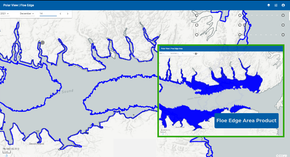
The floe edge products show the land-fast ice extent near communities in the Canadian Arctic shown either by line or as a land-fast ice area product.
Frequency: 2 to 3 times a week during the ice season
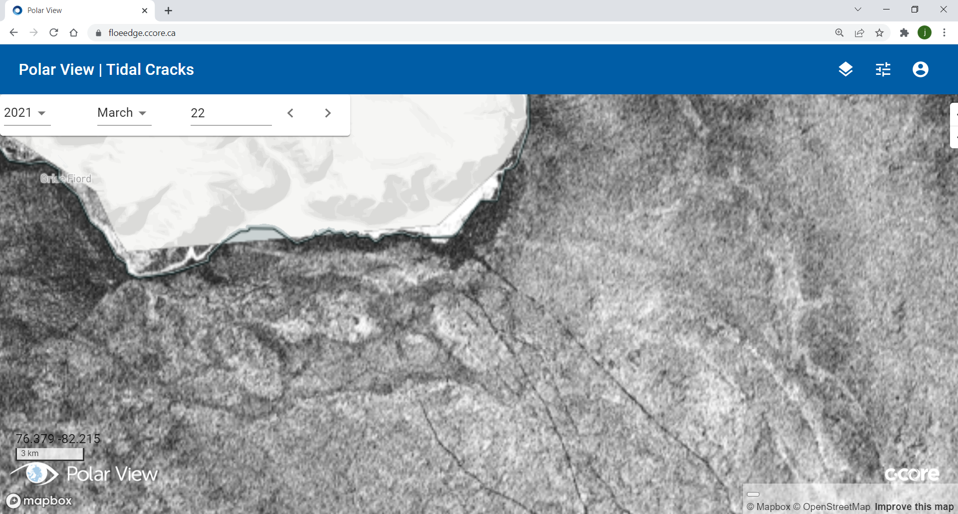
The tidal crack products show the location of tidal crack and polynyas on land-fast ice near communities in the Canadian Arctic.
Frequency: 1 to 3 times a week during the ice season; not available during the melt season
The ice tracking products are vectors that monitor the motion of ice floes in the mobile sea ice in the Canadian Arctic. The vectors are derived using two overlapping satellite images within 48 hours.
Frequency: 2 to 3 times a week during the ice season
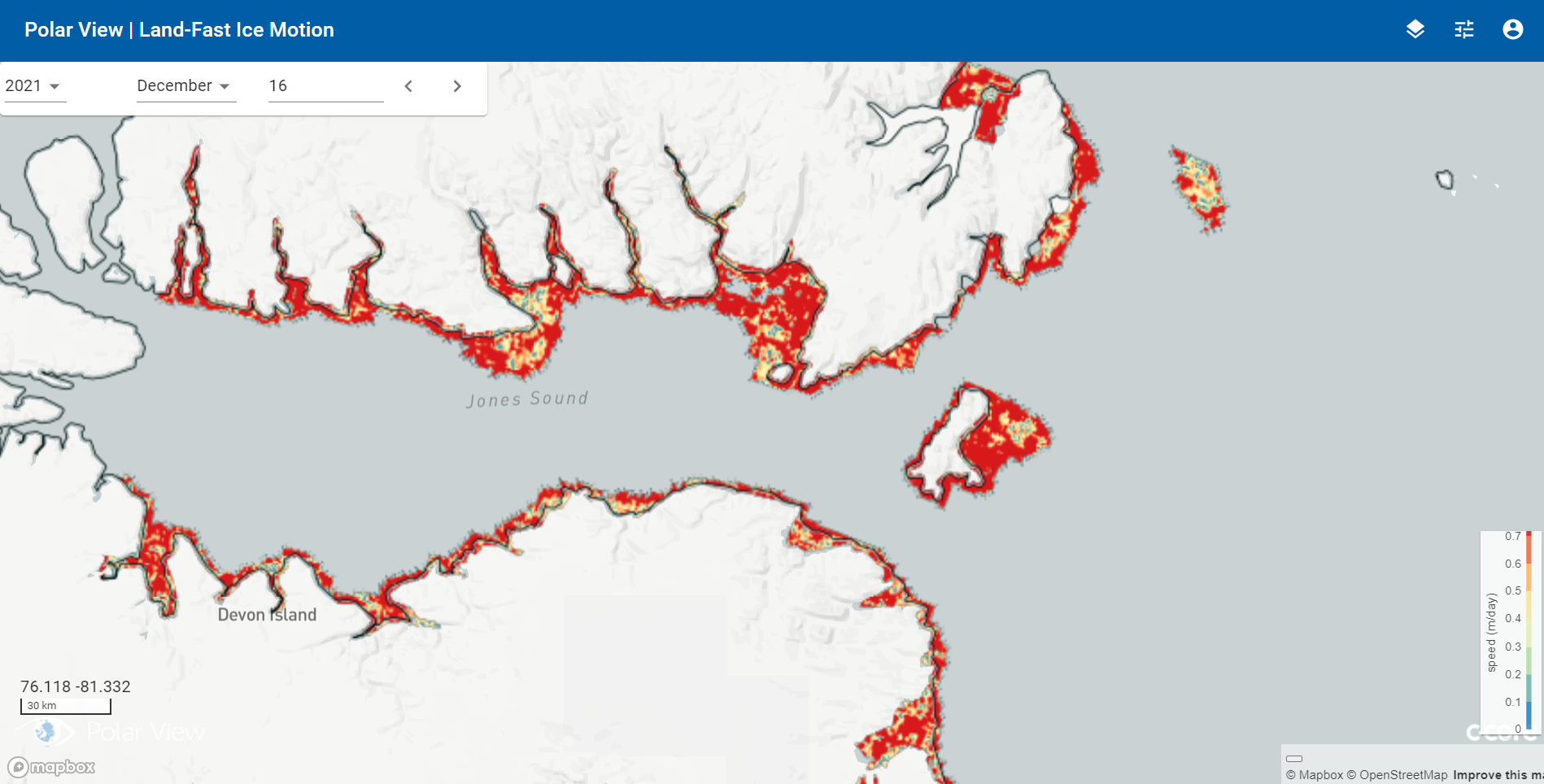
The land-fast ice motion products show the motion of the land-fast ice near communities in the Canadian Arctic over a six day period, typically ranging from 0 to 15 meters per day.
Frequency: 1 to 3 times a week during the ice season; not available during the melt season
The Canadian Ice Service (CIS) Ice Charts are used to monitor total ice concentration in the Canadian oceans.


